
Elevation: We camped at the point 1290m
Elevation gain: 900m roughly
Distance: Roughly 10km return
Difficulty: Hiking with some bushwhacking

Description:
Ruby had to work a Sunday but we still wanted to do something so we decided to camp up above Sugarloaf Pass. We packed the tent and packs up and made our way for the Routeburn Shelter. From memory, there’s really not all that much to talk about. We followed the Routeburn Track for about 15 minutes before turning right onto the Sugarloaf Track. The track is narrower than the Routeburn Track but is still in great shape. It climbs steadily through the trees until finally breaking just beneath the pass.
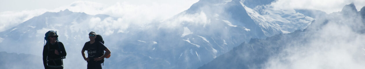
We were treated to a very boggy walk up to Sugarloaf Pass. The water had cut a nice deep ditch where the trail had once been. You skirt around the track on either side as it permits until eventually you hit the pass. We had a great view into the Rockburn. We headed climber’s right up the grassy slope until we eventually hit the tarn at the hight point.

Typical grassy terrain as we head up to the tarn.
The views were stunning! We had a clear view over Lake Wakatipu. The Humboldt Mountains wrap around Sugarloaf and dominate the western landscape. We found a nice spot out of the wind to put our tent. We watched as the sun set and the mountains turned red. Not too long after the moon rose above us. It was basically a second sun. The moonlight shone brightly through our tent. It was wonderful sitting under the dimly lit mountains.

Mt Somnus above Sugarloaf Pass.
The next morning we packed our stuff and raced out before a new storm arrived. It feels like no time at all from leaving the saddle to reaching the main turnoff to the car park. Stopped in for a coffee at Glenorchy and then made our way back to town.

South Island Bush Robin