
Elevation: 2155m
Difficulty: Climbing Grade 12. Difficult navigation at times.
Access: Park at the Twin Stream Bridge near Glentanner. There are a couple pull out spots available for parking.
Description:
Back last December I was scrolling through Facebook when a very interesting post popped up. It was from a random climber who talked about a route that was similar to the Grand Traverse of the Remarkables and the Guideless Buttress on Mt. Wakefield. Both of these climbs were stellar so the idea of a third one had me excited.
I cracked open the Ohau-Landsborough Alps Guidebook and found the route. The description was only a few lines long but it sounded straightforward enough.
Twin Stream is a pretty serious alpine style climbing area near Mt. Cook Village. To hardcore climbers, this area offers stiff sport, trad, and mixed climbing, often with bolted anchors. For us, the objective was more of an adventure to the top of the buttress rather than a climbing project.

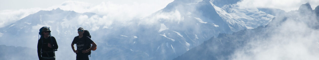
Entering the Twin Stream Basin.
We started the route by working directly up the stream for the first 1.5 hours. This is the easiest way to get to the basin. After a good fight with the creek the valley opens up. You can walk along the side of the creek on stable, grassy ground. From where the valley opens up it was still an hour and a half before we reached the base of the buttress. There were a couple parties there climbing on some of the walls there.
Note: The Kea population there is substantial. If you’re planning to camp, I suggest packing away your gear and hiding it while you’re away.

A climber on the Southerly Front Wall
The route starts by skirting under the Southerly Front wall and continues across that ledge until you hit a V-notch. It’s further than you think and when you see it you’ll know it. This notch is grade 8. We decided not to pitch this section but I would have if we knew better. It ends up being steeper than you think and once you’re committed there’s nowhere really to stop.

The V-Notch
Once we topped out we headed climber’s right to a big gully. The trip report said that it splits as you climb it but we found that it had already split into two below where we joined it. Climb up the big, obvious gully for a couple hundred metres. It mellows out as you climb higher and eventually opens up to a big, chossy slope. We scrambled up this slope as far as we could until it steepened too much for us to keep going.

Top of the second pitch. From here it was easy going to the summit.

Lake Pukaki glowing in the distance.
We spent probably most of the trip worrying that we had gone up the wrong tower but it did work out. From where we pulled the rope out, it was two easy pitches on pretty average rock. There’s a good belay ledge on the lefthand side of the wall. From here it’s a quick pitch to the top of the tower. From here, there is a thin bridge that connects the tower to the rest of the mountain. This traverse is exciting because the mountain completely falls off on both sides.


The rocky bridge that links the route to the rest of the mountain.
Once you’re on the other side you climb another tower to an obvious rappel. We lowered ourselves to the base of the last notch separating us from the summit. A short scramble from here had us at the summit.